

I extend to you all my highest expressions of gratitude and appreciation for the awareness, responsibility, and strong national spirit you demonstrated during this democratic occasion, which truly reflected the civilized image and genuine sense of belonging of our community. You have proven that democratic competition can be a space for mutual respect, unity, and goodwill, and that the interest of Surda and Abu Qash will always remain above all considerations.
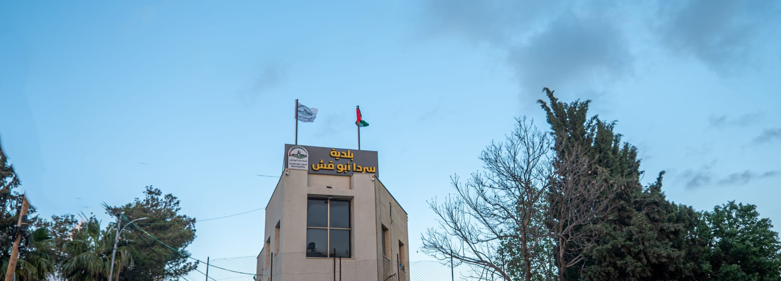
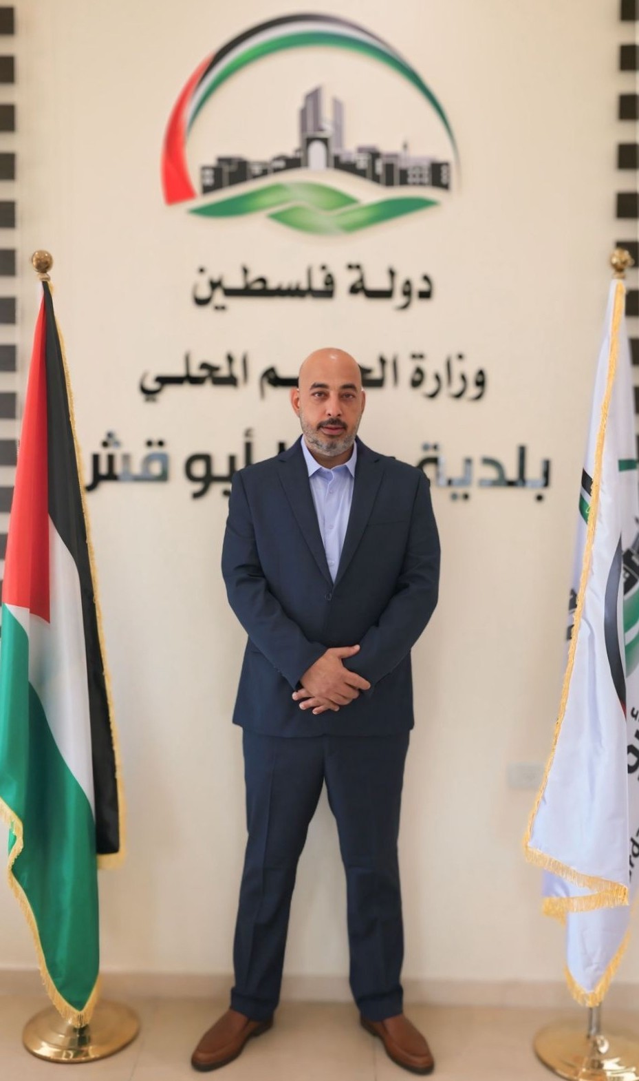
During the elections, we were candidates on different lists, and we deeply value everyone who placed their trust in us and believed in our vision and programs. Today, however, we stand as one municipal council of thirteen members representing all residents of our town. Having been entrusted with your confidence, I stand before you as the Mayor of Surda and Abu Qash—representing all lists and both communities—firmly believing that the next phase requires a spirit of partnership and cooperation, apart from any division or alignment, with the interests of our people and the unity of our town placed above all else.
We are fully aware of the challenges that lie ahead, especially under the difficult national and economic circumstances our people are facing. Yet, we firmly believe that our unity and solidarity are the foundation for overcoming these challenges, strengthening our resilience, and achieving greater stability and development.
The municipal council will work as one team, in cooperation with all, to improve the level of services, develop infrastructure, enhance communication and transparency, and support the path of development in our town—ensuring it reflects the dignity and proud history of the people of Surda and Abu Qash.
Today, I am your son and your brother in Surda and Abu Qash, which together form a model of unity and integration. Together, we will work to ensure they remain a symbol of love, belonging, and cooperation.
We ask God to guide us all toward what is best for our town and our people, to keep us united and supportive of one another, and to enable us to live up to your trust and expectations.
With sincere respect and appreciation,
May you always remain people of loyalty, unity, and belonging.